Campidano Bike Tours

Most of the itinerary takes place on dirt roads, dirt tracks and country stretches that pass through farms, vineyards and olive groves. There are also areas shaded by holm oaks, cork oaks and carob trees, which offer a pleasant refuge on the hottest days. In spring, the trail comes alive with the colors of wildflowers, while in autumn, the intense scent of moist earth and aromatic herbs fills the air.

Along the route, you can encounter small seasonal streams, dry stone walls, and the remains of ancient rural structures, evidence of the area’s agricultural tradition.
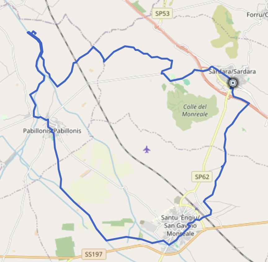
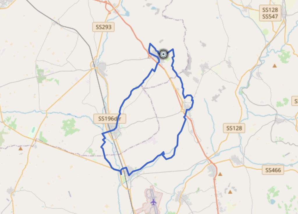
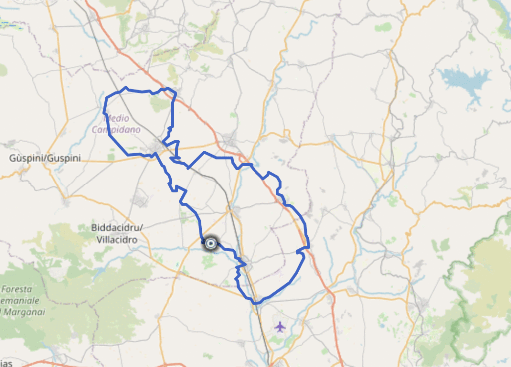
NORTH Ring Route

SOUTH Ring Route

Total Project Path

Archeobike Pabillonis

Arkeo Bike Pabillonis

The trail traverses the entire homogeneous territorial area, skirting the hydrogeological environment (the Riu Bellu and its grove, the Riu Malu and the Flumini Mannu) and allowing visitors to discover its fauna and flora. The basic circuit is approximately 22 km long and is a loop around the town, allowing visitors to visit the archaeological sites of our country within the Pabillonis Archaeological Park.

Naturalistic and cultural interest

The route passes through areas of notable environmental interest, where various species of birds of prey and small mammals can be observed. In some areas the path runs alongside old farm roads that once connected rural villages.

Depending on the precise geographical area (to be verified with the exact location of the GPX file), the route may also include archaeological or Nuragic points of interest typical of the Sardinian territory, as well as panoramic areas ideal for nature photography.


Practical suggestions

  • The route is accessible all year round, but the best seasons are spring and autumn.

  • The trail is accessible year-round, but the best seasons are spring and autumn. In summer, given its length, we recommend setting off early in the morning and bringing an adequate water supply.

  • The dirt road makes the route also suitable for mountain bikes or e-bikes.

  • A GPS or paper map is recommended: the route, although well-defined, has intersections in agricultural areas that are not always signposted.